


"Also, look for the closure of West Rosedale Street between University Drive and Lovell Avenue to occur soon."
"Is that where the University ramp will be?"
The second was a response to the picture:
"
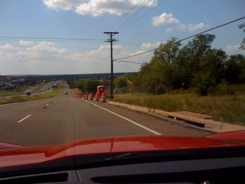 "
""This picture seems so quaint right now."
I know the spot well. It was a regular part of my bicycle commute for two years.