QUOTE(Roger_H @ Aug 21 2007, 07:26 PM)

QUOTE(bfg9000d @ Aug 19 2007, 07:36 PM)
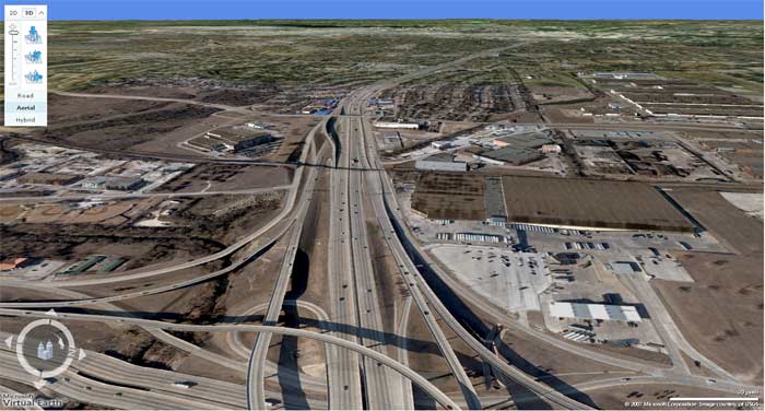
Thank-you for all the positive postings I have gotten on this topic. I have no idea if a 1980's or 1990's picture of this interchange still exists. Somebody might have one in their old photo library. But I was thinking was their any restaurants around that clover leaf that got demolished in the building of that new interchange????? Maybe I was dreaming but I vaguely recall one restaurant had to get demolished because a ramp was going right through it. Can somebody confirm that....
At the southeast quadrant of the interchange there was a Motel 6 and another motel, the name of which I cannot recall. The second motel had a restaurant/coffee shop in it that was fairly popular with locals. If my memory is correct, the ramp that connects north-bound I-35W to east-bound I-20 ran right through those two motels.
Also, The Rig restaurant which is now at Altamesa and I-35W used to be located in the southwest quadrant of the interchange. The building was demolished, but the oil derrick sign was relocated to the current location.
Those are the only businesses I recall that were totally wiped out, though the state did acquire some land from other businesses, such as the old Kimbell warehouse.
Is this the road that runs east/west just 2-3 miles north of the big Alcon Labs campus? (IHey, its been 23 years, my distances may be way off.)
If you are talking the same road I am thinking of, contact some big business like Alcon, or the beer distributer (don't remember which one) or the Mrs Bairds. Their public relations department may have some pictures of the way the area looked in their early years.
I worked on Hulen at Homers Hardware (I think it is now a Linen's & Things, or a Container Store...anyway, it is across from Hulen Mall), in 1978-1980. I remember thinking they tore up the road work as fast as they laid it down...and griped that the engineers couldn't get it right the first time.
I worked at Alcon Labs for approx a year as a temp svc clerical worker in 1984. I really think the larger business' would have some pr pictures.
gbs